Muscliffe free stretch, River Stour
A proper free bit of the River Stour at Muscliffe, just upstream of RDAA’s Throop Fishery Beat 1. It sits beside the Stour Valley Nature Reserve, with easy access from Granby Road car park.
Run by Bournemouth, Christchurch and Poole Council · checked 12 Oct 2026 · boundaries only partly described by the club
River Stour (Dorset)
Muscliffe free stretch, River Stour
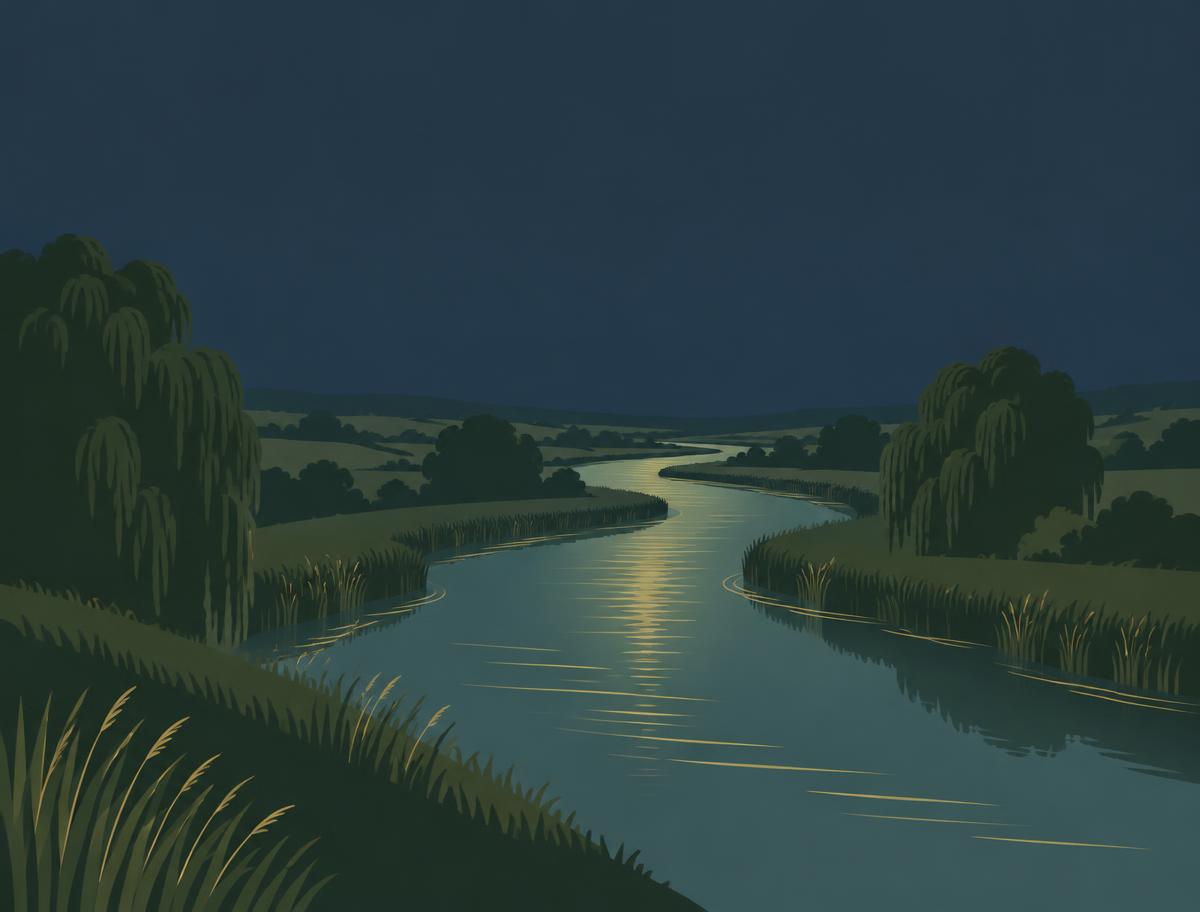
Our river artwork — photos for this stretch are on the way
River level
Measured — Environment Agency
Ensbury gauge
Nearest EA gauge we've matched — it isn't on this stretch, so levels on your peg will differ.
Loading latest reading…
We don't publish an "ideal level" — nobody can promise one. Flood water is dangerous: if it's up and coloured, stay well back from the edge. Open River Ready
The lowdown
- This is the Muscliffe free stretch, north of Bournemouth and right by the Stour Valley Nature Reserve.
- RDAA’s Throop Fishery Beat 1 starts at the bottom end of this free water, so the Muscliffe section is upstream of that beat.
- There’s no confirmed length or peg count, so expect a more natural bit of river rather than a numbered, manicured fishery.
- The riverbank and surrounding ground are part of the Stour Valley green-space and nature-reserve setting. Lovely riverside territory.
- Granby Road car park is the handy access point. It’s free to park, with the postcode BH9 3NZ.
- From the car park, walk down to the river and turn right along the gravel path. Bob on, but keep to the riverside route.
- The adjoining Throop Beat 1 has long deep glides, gravel shallows, overhanging willows and deep holes. Those features give a useful feel for the nearby Stour water.
- That sort of mix lends itself to trotting the glides, working the crease and trying a feeder where the river digs in. Keep things mobile and look for a bit of colour.
- There’s no checked Muscliffe-specific night-fishing rule, parking restriction or ticket price. Don’t assume night access is allowed, though.
- No definitive fish list is published for this exact free stretch. RDAA names chub, roach, bream and barbel for the adjoining Beat 1 water, but that isn’t a Muscliffe species list.
- We're not sure on ticket prices for this one — check with the club or local regulations before you leave.
Methods: The nearby water is described with glides, shallows, willows and deeper holes, so trotting and light feeder work are the obvious approaches. Fish the crease, explore depth changes and keep an eye out for cover.
Access & tickets
Fishery ticket
No fishery ticket is required for the Muscliffe free stretch according to the checked information.
Environment Agency rod licence
Required where legally applicable.
This is identified as a free stretch, so no fishery ticket price or ticket requirement is published. An Environment Agency rod licence still applies where legally required.
Fish the club names
The club doesn't list species for this stretch, so we haven't guessed.
Key rules
- No fishery ticket is required for the free stretch, according to the checked information.
- An Environment Agency rod licence is still required where legally applicable.
- No Muscliffe-specific night-fishing rules were published in the checked information.
- No Muscliffe-specific parking restrictions were published beyond the council information that Granby Road car park is free.
Coarse fishing on English rivers is closed from 15 March to 15 June inclusive. That's the law for coarse fish on rivers — it's not a club rule, and game-fishing seasons work differently.
GOV.UK — Freshwater rod fishing rules: when and where you can fishWhere it is
Pins mark the access postcode each club gives, not the bank itself. Exact boundary map: see rights holder.
Community reported
Recent angler updates
No angler updates yet — that's normal. Be the first to help the next angler.
How busy was it?
Nobody's said yet. It's part of the 20-second update below.
No live tracking — this is what anglers told us after their session, and it's never part of the venue score.
Water updates from anglers
No active water updates.